July 2021: Seogi Kang
On recovering changes of water head from satellite ground deformation data
Abstract
Population growth and climate change in 21 century increase the demand for groundwater threatening the sustainability of groundwater resources. Therefore, there is an urgent need to understand the groundwater system. Major drivers of the system are the spatial and temporal changes of the water head, and therefore obtaining these changes is an essential task. Although head data can be measured from water wells (e.g. monitoring, irrigation), the spatial coverage and density of the wells are often poor resulting in a large data gap between the wells. The ground deformation signals, which can be measured from satellites (e.g. Sentinel), contain information about the changes of the head providing great potential to fill in this data gap. Working on the ground deformation data and head data acquired at the Central Valley of California, which is one of the most productive farmland in the world resulting in a large amount of water demand, I present a developed methodology that can 1) simulate the deformation signals from given head data and other aquifer parameters and 2) invert the observed deformation signals to estimate head data and other aquifer parameters.
Presentation
Bio

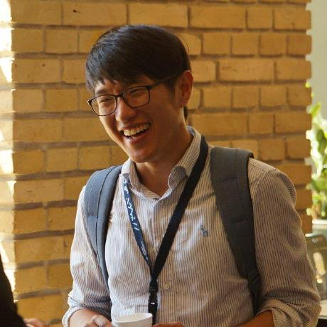
Seogi completed his PhD in Geophysics at the University of British Columbia, Canada, in 2018. His thesis work focused on computational electromagnetics and its application to mining problems. Currently, he is a Postdoctoral Researcher in the Geophysics Department at Stanford. His research focus is on advancing the use of airborne electromagnetic and other remote sensing methods for groundwater management and groundwater science. He continues to contribute to the development of open source software, SimPEG, and educational resources, GeoSci.xyz, for geophysics.